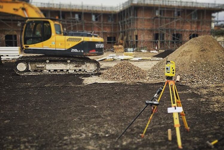
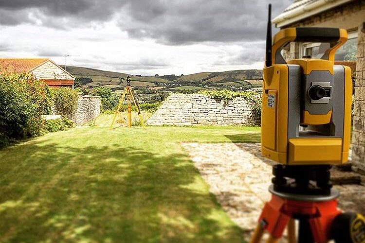
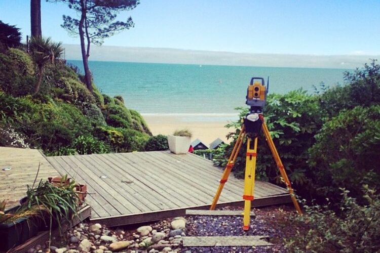
Southern Land Surveys provide the complete topographical survey package, tailored to our clients’ requirements and delivered to the highest standard of CAD drawing. A topographical survey allows us to map out parcels of land by producing accurate and detailed plans using the latest technology to produce efficient and cost effective products.We are proud to be associated with numerous Architectural practices who frequently recommend us to their clients.
As surveyors, we are the starting point for any building project and drawings are distributed to Architects, Engineers, Arboriculturist, Building Control and ultimately to the building contractors. We prepare digital terrain models and in turn contoured plans can be available in both 2D and 3D versions depending on client requirements.


