Surveyors in Bournemouth, Christchurch and Dorset
Topographical and Land Surveys
Southern Land Surveys offers comprehensive topographical survey services customised to meet our client’s needs, delivered with the highest quality CAD drawings. We offer precise topographical and land surveys in Bournemouth, Christchurch, and Dorset. We take pride in our strong relationships with numerous architectural firms who regularly endorse our services to their clients.
As surveyors, we serve as the initial step in any construction project, providing detailed plans that are shared with architects, engineers, arboriculturists, building control authorities, and ultimately, building contractors. Our expertise includes creating digital terrain models, with contoured plans available in both 2D and 3D formats based on client preferences.

Measured Building Surveys
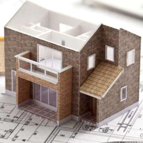
With our measured building survey services, clients receive comprehensive 2D floor plans, elevations, and cross-sections, essential for informed decision-making and project planning. Whether you require documentation for renovation, construction, or property assessment purposes, our surveys provide the vital information you need.
Clients can choose their preferred format for delivery, whether it’s on paper, film, or digital disc, ensuring convenience and accessibility. With our dedication to quality and customer satisfaction, Southern Land Surveys stands ready to meet your building survey needs in Bournemouth and beyond. Contact us today to learn more about how we can assist you with your project.
Land Registry Plans
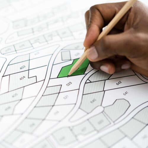
Targeted towards solicitors and legal departments, our expertise lies in crafting scaled site and building plans tailored for legal documentation. Lease plans, a crucial component in property transactions, depict the precise area of land encompassed within a lease agreement. For leases spanning seven years or longer, compliance with Land Registry standards is imperative, necessitating a prepared and approved lease plan.
At Southern Land Surveys, we specialise in producing comprehensive lease plans that meet regulatory requirements and facilitate seamless property transactions. Our plans are drawn to scale, ensuring accuracy and reliability for inclusion in legal documents.
Trust Southern Land Surveys to deliver lease plans of the highest quality, learn more here.
3D Laser Scanning Surveys
Utilise our 3D Point Cloud Surveys, enhancing your capabilities in producing top-tier survey drawings. Employing cutting-edge technology, 3D laser scanning revolutionises the surveying process by digitally capturing object shapes through non-contact methods, utilising a precise line of laser light. By generating detailed “point clouds” of data from object surfaces, our scanner allows us to extract precise measurements from scanned objects with unparalleled accuracy.
With our SX10 scanner, we efficiently gather site information with remarkable accuracy and speed, facilitating integration into our drawing processes. This ensures that our clients receive survey drawings of the highest quality and precision. Discover how our 3D laser scanning services can elevate your project’s outcomes by reaching out to us today.

Frequently Asked Questions
Do you provide Land Registry compliant plans?
Yes, we specialise in producing Land Registry compliant plans, including lease plans, which are essential for legal documentation purposes. Our plans
meet Land Registry standards and can be used for property transactions requiring approval by the Land Registry.
Why is a measured building survey important?
A measured building survey is essential for various purposes, including renovation, construction, property assessment, and legal documentation. It
provides crucial information about the existing conditions of a building, aiding in informed decision-making and project planning.
What technology do you use for measured building surveys?
Our highly skilled team utilises a combination of traditional survey techniques and the latest technology, including advanced measurement tools and
equipment such as laser scanners, to ensure accuracy and precision in our surveys
How is the survey data delivered?
We offer flexible delivery options to suit our clients’ preferences. Survey data can be provided in 2D format on paper, film, or digital disc, ensuring
accessibility and convenience for our clients.
How long does it take to complete a measured building survey?
The duration of a measured building survey depends on various factors, including the size and complexity of the building. We strive to complete
surveys efficiently while maintaining the highest standards of quality and accuracy.
Can you accommodate specific requirements or tailored requests?
Yes, we understand that every project is unique, and we are committed to meeting our clients’ specific needs. Whether you require additional
documentation or customised deliverables, our team is dedicated to providing tailored solutions to ensure client satisfaction.
